Virtual Flood Simulator Taught in Civil Engineering Hydrology Lab

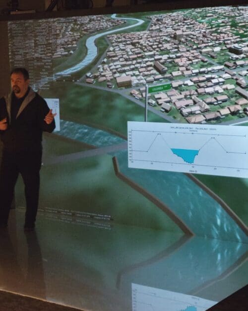
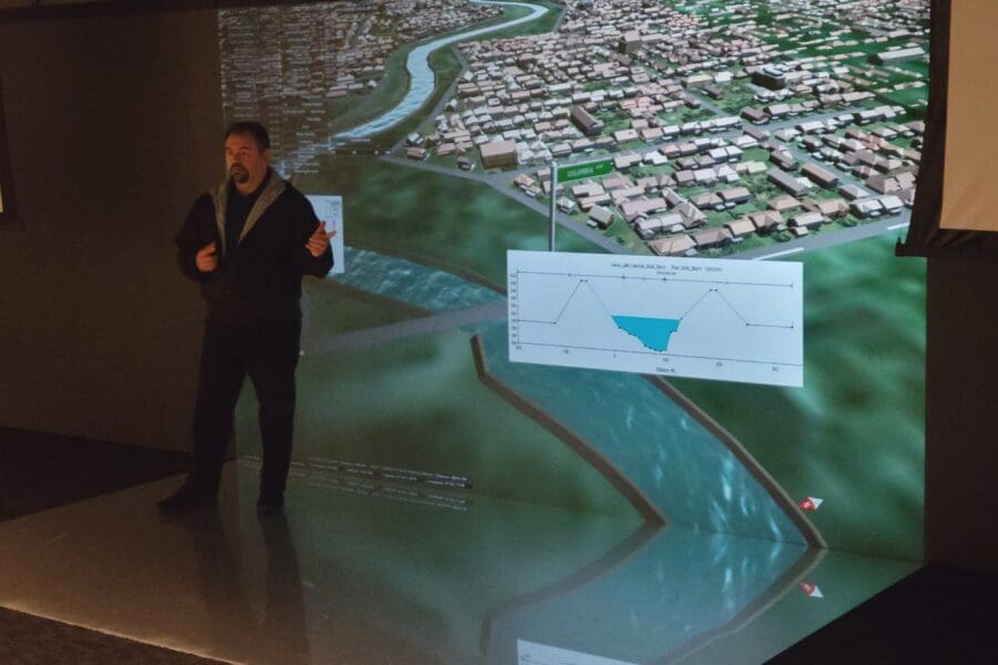
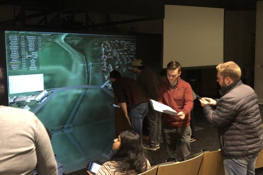
Approximately 20 Civil Engineering students used the CIVS virtual flood simulator in a Hydrology lab in our Immersive Theater on March 7th & 9th. The virtual lab helped students learn about flood mitigation strategies by exploring an Interactive 3D flood simulation of Northwest Indiana.
The simulator was created under an NSF grant about 10 years ago. It visualizes data collected from the 100-year flood event, that occurred around the Little Calumet River in Northwest Indiana in 2008, as well as simulated data to show how the flood would’ve been different using various remediation strategies.
It is implemented in PNW Civil Engineering Hydrology Course CE342 every year, which provides a great hands-on experiential learning opportunity. Dr. Subbarao Majety is the instructor this year. During the virtual lab, students measured data at different times during the flood and were able to see the impact of levees and sluice gate operation. The U.S. Corps of Army Engineers installed a series of levees at various points around Little Calumet River in response to the event to help deal with future flooding. (edited)
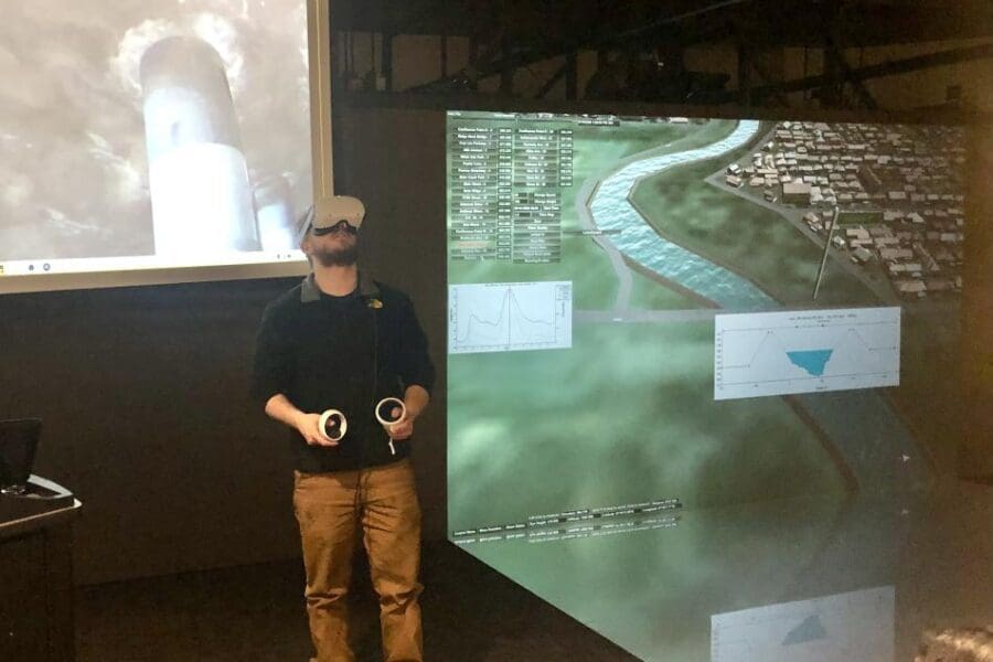
The simulator also includes a newly-developed module that let students see what the flood was like on location at one of the affected areas. The new flood module combined 360-degree video recorded at various locations and simulates water levels rising based on the 2008 data, rising up around the viewers and eventually submerging them beneath the flood waters. The new module was developed by recent CIVS graduate, James “Anthony” Dunlap in collaboration with Prof. Viswanathan and CIVS researcher John Moreland.
The Interactive 3D Flood Simulation was part of an NSF Transforming Undergraduate Education in Science Grant-funded project in collaboration with several other universities. In this research, 6 undergraduate senior design groups and 3 graduate students participated in field data collection such as channel cross-section surveys and modeling development. For flood modeling, Hydrologic modeling and Hydraulic modeling were developed initially.
Calibrated modeling results were taken to the Unity 3D game engine platform to develop an immersive virtual 3D flood model for a real-world system located in Northwest Indiana known as Little Calumet – Hart Ditch River system. Developed resources were used as lab modules in training students and field resources for flood planning. It has also been used as an education and outreach tool for northwest Indiana.


